


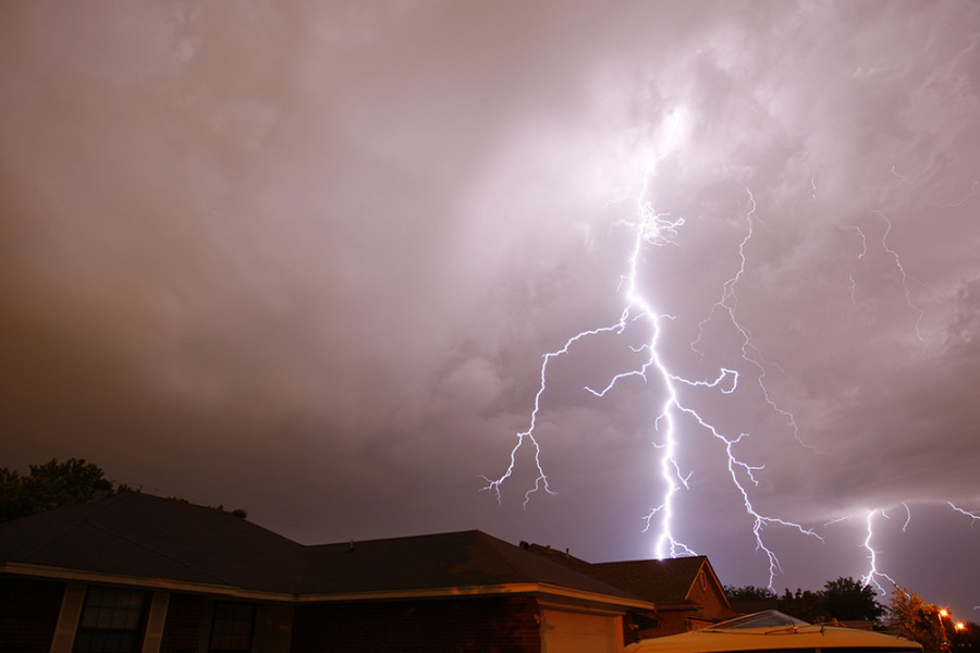
Thursday Marks the Third Day of Severe Weather
Severe weather expected to continue into Thursday
David Kent
(David Kent/Fort Worth Star-Telegram/MCT)
May 22, 2014
Thursday marks the third consecutive day of severe weather in Colorado, especially in Denver as these storms make national headlines. While there will be a small chance for isolated tornados, the major threat being considered is damaging winds and dime-sized hail.
The storms are forming from moisture moving in the southwest. The storms today will form near the foothills and the Palmer divide and will begin moving towards the east, hitting the Denver area around 11 a.m.
There will be less support for rotation in the clouds, reducing the possibility of the formation of funnel clouds and tornados. However, due to the volatile nature of the storms, weather forecasters are asking people to keep an eye on the clouds.
Slow moving storms may produce heavy rain so minor flooding is expected. As always, don’t drive in flooded areas, either walk or don’t go. Afternoon temperatures today will be in the mid-70s.
Expect the rain to continue well into the night and possibly into Friday morning, increasing the possibility of an all day storm tomorrow, although a less severe one.